Overview
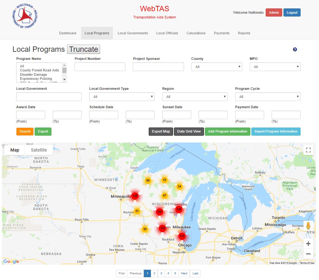
When the filtered data grid contains records with valid Latitude and Longitude information the Map view (Improvement Types Only) button appears. When selected, a map of Wisconsin displays with a pin for each project. The user has the ability to zoom in or out on the map for greater detail. The user can also export the map to a PDF file for reporting.